
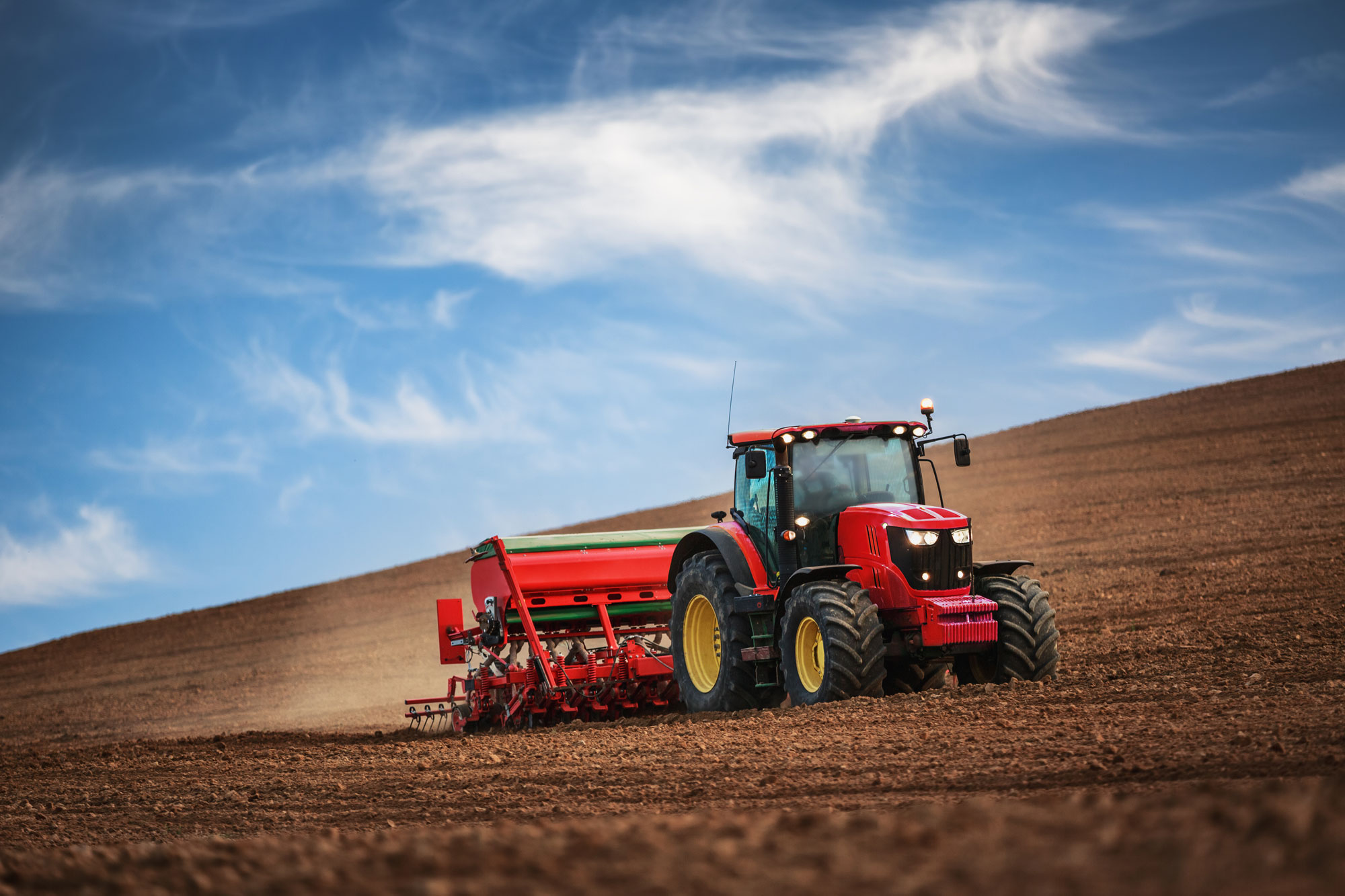
Agriculture and Viticulture
Mapping and analysing the inherent variability in field conditions and linking the derived spatial relationships to management actions puts agriculture and crop production at the cutting edge of geotechnology applications.
Site specific management recognises the variability within a paddock and introduces a more precise approach to primary production that involves working: In the right way, at the right place, at the right time.
Geography becomes the common element that ties the disparate data together to form a landscape of knowledge to support effective agriculture and viticulture, including:
- Soil properties
- Slope and aspect
- Growth rates and vigourDisease and infestation
- Crop yield
- Remote sensing (satellite, aircraft and Unmanned Aerial Vehicles [UAV])
- Global Positioning Systems (GPS)
The future farming philosophy is to adopt site-specific technologies to discover ways to: cut costs, use inputs appropriate to the productive capacity of the site, and to optimise their outputs for a safe and sustainable supply of food and fibre.
We encourage this philosophy through practical application of:
- Soil and water conservation
- Environmental offsets
- Carbon accounting and carbon credits
- Developing and respecting the relationship between agriculture/viticulture and nature
- Achieving a balance between productivity and sustainability