
Spatial Analysis
Making decisions based on geography is a core construct in our lives and workplaces. By understanding geography and the relationship that objects and events have to their location, we can make informed decisions about the way we live and the effectiveness with which we work.
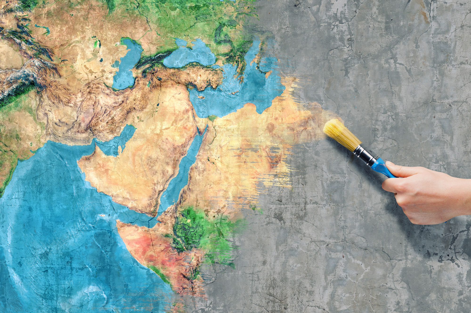
A Geographic Information System (GIS) forms a key component of the geotechnology, that is becoming more and more embedded in our everyday activities. Geotechnology is one of three “mega technologies” of the 21st Century.(Note, biotechnology and nanotechnology are the other two).
Spatial Analysis is core to our business, we want to know “how can we use spatial functions to solve this problem, and what tools do we need to do it?” It’s a key question that underpins our work and our relationship with our clients.
Some of our past work includes:
- Time series analysis and temporal change
- Linking analysis to business objectives
- Criticality assessment
- Spatial structure and statistical analysis
- Business planning and prioritisation of works
- Algorithms and analytical models
- Cartography and visualisation
- Database management and reporting